CERTO studied six case study areas spread across European coastal waters to provide a range of transitional environments to ensure a full range of Optical Water Types and associated algorithms were fully characterised and validated.
These six areas were spread all across Europe and provided contrasting environments to study, ranging from the large watersheds of the Elbe, Curonian and Tagus to the smaller catchments of the Tamar, Venice and Razelm-Sinoe. Four of the upstream regions cross geopolitical boundaries, which has complex implications for management of these areas.
In situ sampling was limited during the first year of the project due to COVID constraints, therefore early work focused on utilising existing data combined with satellite observations. Fortunately it was possible to undertake fieldwork during 2021 and 2022. Follow the links in the table below for reports from the sampling campaigns.
Case study overviews
CERTO's case study overviews summarise the project's achievements in major European estuaries and coastal waters. These 2-page overviews explain how CERTO advanced monitoring and understanding of water quality in each ecosystem.
The summaries concisely cover the development of tailored indicators and products, integration of field data and satellites, and local benefits. The accessible format distills key innovations and insights from CERTO's work in each region.
Intended for a wide audience, the factsheets provide an introduction to CERTO's contributions in the Danube Delta, Tagus Estuary, and other major aquatic environments across Europe. Download the overviews below to learn about the localised benefits of CERTO.
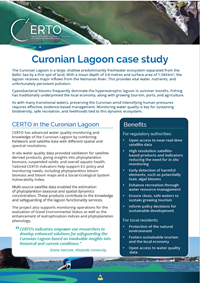
The Curonian Lagoon is a large, shallow predominantly freshwater ecosystem separated from the Baltic Sea by a thin spit of land. With a mean depth of 3.8 metres and surface area of 1,584 km2, the lagoon receives major inflows from the Nemunas River. This provides vital water, nutrients, and unfortunately persistent...
Read more >
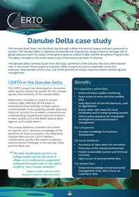
The Danube River flows into the Black Sea through a delta, the second largest and best preserved in Europe. The Danube Delta is a wetland of international importance, being a Natural Heritage Site of global relevance with the status of Biosphere Reserve (UNESCO Man and the Biosphere Programme). The delta is located in the south...
Read more >
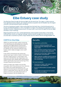
The Elbe River flows through the German Bight into the North Sea. This region is under pressure from significant human impacts, yet contains sensitive ecosystems like the Wadden Sea, the largest unbroken intertidal wetland system worldwide.The Port of Hamburg, located 110 km up the Elbe from the North Sea, is the third busiest port...
Read more >
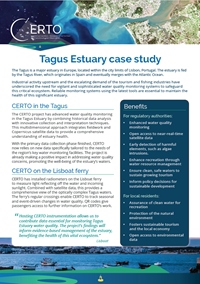
The Tagus is a major estuary in Europe, located within the city limits of Lisbon, Portugal. The estuary is fed by the Tagus River, which originates in Spain and eventually merges with the Atlantic Ocean.Industrial activity upstream and the escalating demand of the tourism and fishing industries have underscored the need for...
Read more >
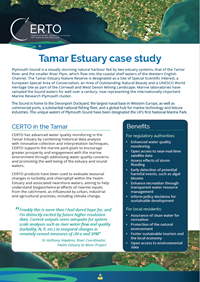
Plymouth Sound is a visually stunning natural harbour fed by two estuary systems, that of the Tamar River and the smaller River Plym, which flow into the coastal shelf waters of the Western English Channel. The Tamar Estuary Nature Reserve is designated as a Site of Special Scientific Interest, a European Special Area of Conservation, an...
Read more >
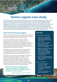
The Venice lagoon, located in the Northern Adriatic Sea, is a complex transitional ecosystem under pressure from human and global environmental factors. With a total surface of approximately 550 km2 and mean depth of 1 metre, this system contains a diverse range of habitats including navigable and minor channels, salt...
Read more >